160
Johann Baptist Homann
Sammelatlas. 65 Karten. ca. 1725-70., 1720.
Estimate:
€ 3,500 / $ 4,130 Sold:
€ 3,960 / $ 4,672 (incl. surcharge)
Homann. - Sammelatlas. Mit 65 doppelblattgr. kolor. Kupferkarten (2 nichtkolor., 4 mehrf. gefalt.). Überwieg. Nürnberg und Augsburg um 1725-70. HLdr. d. Zt. Gr.-Folio.
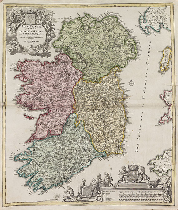
Sammelatlas mit 50 Karten von J. B. Homann und Homann Erben (darunter Welt, Europa, Afrika, Asien, Amerika, Südamerika, zahlr. Teilkarten von Europa), ferner 6 Karten von T. C. Lotter (darunter eine mehrf. gefalt. Karte des Russischen Reiches), 4 Karten von Matthäus Seutter (darunter die zweiteilige Karte Graecia Antiquae ), sowie je 1 Karte von Danckerts (Türkisches Reich, mit Schäden), Le Rouge, Frentzel (aus Donop), J. M. Probst und Unbekannt. - Die Karten überwieg. mit unterschiedlichen Mängeln wie Rand- und Falzeinrissen, Knicken, Fehlstellen tlw. knapp beschnitten und tlw. etw. fleckig. Einbd. mit Gebrauchsspuren.
Collection of maps mainly by the famous publishing house of Homann in Nuremburg, and by T. C. Lotter and M. Seutter in Augsburg. With 65 (63 col.) engr. douplepage maps (4 folding), depicting the world, the four continents, South America and maps of Europe and Germany. Contemp. half calf. - More than half of the maps in need of some repair or restauration (marginal tears, few defective spots, partly somewhat stained). Binding somewhat damaged.
160
Johann Baptist Homann
Sammelatlas. 65 Karten. ca. 1725-70., 1720.
Estimate:
€ 3,500 / $ 4,130 Sold:
€ 3,960 / $ 4,672 (incl. surcharge)


 Lot 160
